| |
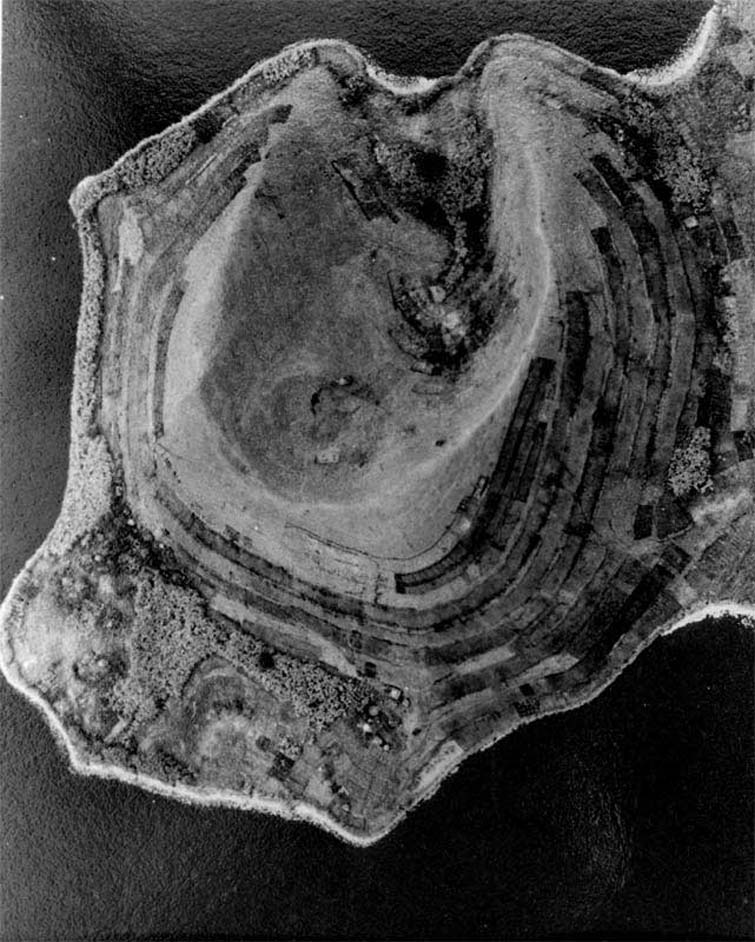
KIGEZI . . . . . . . . . . . . . . . . . . . .. . . . . . . ... . .. . . .. .. . . . . . . . . . . .. . . . . .. . . . . . . . .. . . . . . . Here, field and banana cropping are combined on a peninsula located in a south east part of Lake Mutanda. The peninsula can be be located on the satellite image which follows. The characteristic Kigezi distribution of crops is seen here; bananas on the lower slopes down by the water with terraced field crop cultivation on the upper slopes.
|
|
|
1-57 UG5-020 Uganda Surveys 1957
Lat 1º 17' S . . . . Long 29º 40' E . . . . . 5
|


