| |
BUGANDA..
. . . . . .. . . .. . . . . . . . . . . . . . . . . . . .
. . . . . . . . . . . . . . . . . . . . . . . . . . . . .
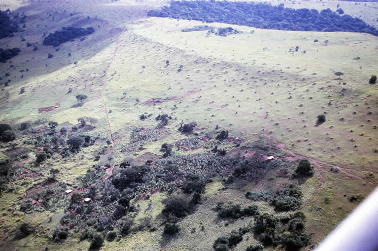
.. . . . . The following scenes were photographed 11 November on a a flight from Entebbe, our base, north and east along the main land south of Kibangi Port to the south and east of Kampala. The flight continued on to Busoga and Bukedi. Information for those areas is covered in the Eastern Region section of this archive. . . . . . . . . . . . . . . . . . . v. . . . . . . . . . . . . . . . . . . . . . . . . . . . . . . . . . . . . . . . . . . . . . . . . . . . . . . . . . . . . . . . . . .. . . . . . . .. . . . . . . . . . . Here is a flat topped hill characteristic of this part of Uganda. Termite mounds show through the short grass cover of the upper slopes. The farms down slope have Banana with an understory of row crops not easily identified.
|
|
|
63c 79 73?#9
11 Nov 1963
Lat Oº 7' N
Long 32º 57' E
7
|


