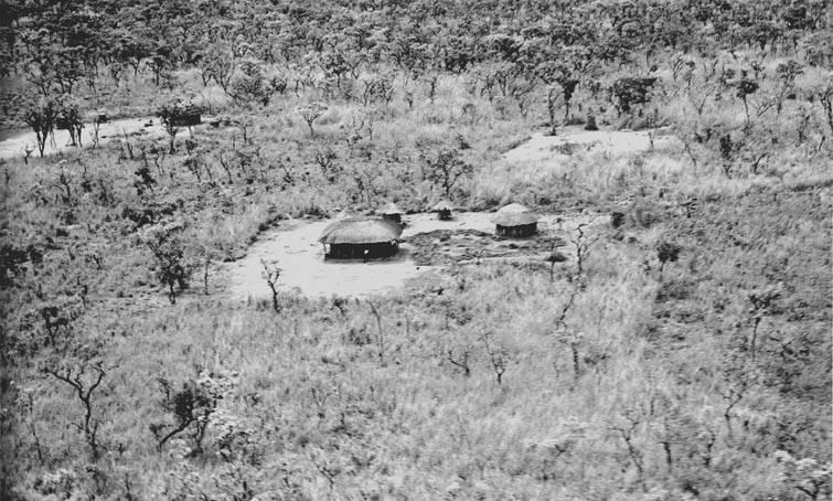
LANGO. . . . . . . . . . . . . . .. . . . . . . . . . . . . . . . . .. . . .. . . .. . . . . . . . . . . . . . . . . . . . . . . . . ...... .. The province is bordered by Teso on the east, Acholi on the north and west, Bunyoro to the south west and the swampy Lake Kioga to the south. At the time of the flights Lango was lightly populated north of Lira the capital city. Continous rural settlement appeared from here south in the Kumam peninsula. Cotton was a major crop. . . . . . . . . . . . . . . . . . . . . . . . . . . . . . . . . . .. . . . . .
The flight track entered Lango from the north east coming from the Patonga area of Acholi. Continued south and west to Lira a fuel stop. then to the south, crossing Lake Kwania to the east of the village of Nabieso. Continued south and west through the penninsula to the village of Namasale on Lake Kioga. . . . . . . . . .. . .. . . . . . . . . . . . . . . . . . . . . . . . .. . . . .. . . . . . . .. . . . . . .. . ..
Location of the scenes for Lango are stated as north, south etc with respect to known locations for Eruti mountain, Lira town, the Lake Kwania crossing near the village of Nabieso , and the village of Namasale where our flight exited Lango. . . . . . . . . . . . . . . . . . . . . . . . . . . . . . . . . . .. . . . .. . . . . . . .. . . . . . .. . . . . . . . . . . . . . . . . . . . . . . . . . . . . . . . . . . .. . .. . . . As we flew in from the north the first settlements we saw were located eight to ten miles north of Eruti mountain. Here there were large plantings of cotton..
|