KIGEZI .
. . . . . . . . . . . . . . . . . . .. . .
. . . . ... . .. . . .. .. . . . . . . . .
. . .. . . . . .. . . . . . . . .. . . . .
. . Kigezi, in the extreme south western
corner of Uganda, had high rural population
densities with over 50 percent of the land
in cultivation. Much of the remainder consisted
of extremely steep slopes or was in swamp.
It was very scenic country. The impression
given was that every bit of possibly agricultural
land was in use. The main crops consisted of
sweet potatoes, sorghums, millets, with banana
on the lower slopes.
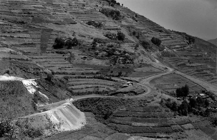
This is an over view of a common Kigezi cultivated landscape.
Erosion and land slumping is found along the road to the left
The road turns back on itself to minimize slope for trucks
and cars; a hair pin turn. |