EAST
MADI . . . . . . . . . . ..
. . . . . . .. . . . . . . . . . . . . . . . . .
. . . . . . . . . . . . . . . . . . . . . . . . .
. . . . East
Madi was located along the west bank of the Nile
river to the west of Acholi. It extended north to
the Sudan border. East Madi was linked to West Nile
by a ferry at Laropi which carried foot and bicycle
passengers, several small cars or small trucks. The
area had very light densities of people as did Acholi
to the West and south of Gulu the provincial capital
and commercial center.
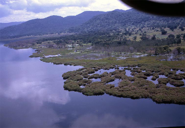
The ferry at Laropi and the surrounding country
are shown in scene #1. Vegetation along the river valley is
much more dense than that found inland on either the west or
east side. |