| |
BUKEDI ..
. . . . .. . . .. . . . . . . . . . . . . . . . . . . . . . . . .
........... . . . . . . . . . . . . . . . . . . . . . .
. . . . .
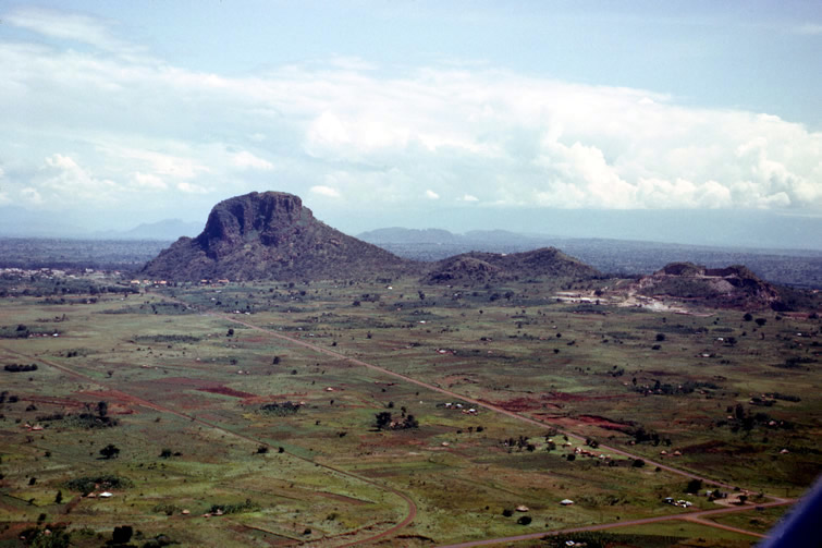
Tororo
rock with the town at its base. Cultivation surrounded it in
1963. Google Earth images as of 2008 show the area heavily
settled.
|
|
|
63c
73 #27
11 Nov 1963
Lat 0º 41' N
Long 34º 11' E..
.. 2
|


