
Buganda was and is the economic and administrative core of the country. It consists of Mengo with the capital city Kampala. Two smaller districts are Mubende on the north extending to Lake Albert and Masaka in the south. Buganda is bordered by Lake Victoria on the east and included the Sese islands. It extends to the Victoria Nile, border with Busoga of the Eastern Region and Lake Kyoga to the north east. On the north are Bunyoro district of the Western Region. To the west Toro and Ankole also of the Western Region. To the south is Tanzania. Buganda is a large and significant part of Uganda.
The mean annual rainfall in Buganda varied from 50 to 60 inches in the east, 35 to 40 inches in north Buganda and again in a large area to the west of Entebbe.  The associated vegetation ranged from dense forest on the Sese islands, and patches of dense forest along the Lake Victoria coast, to forest savanna mosaic in most of settled Buganda. The more dry northern and western areas had a tree and grassland savanna cover. Parts of Mubende even less well watered, had a dry savanna with scattered small trees and grasses.
Agriculture along with vegetation was conditioned by this climate. The high rainfall (60 plus inches) Sese islands had a few usually small farms in the forest. The well watered eastern portion of Buganda was occupied by farms with plantings of banana, coffee, tea, root crops and field crops. In the open forests of western Mengo and the more dry areas of Mubende herding settlements with In a few cases really large herds of long horned Ankole cattle were seen.
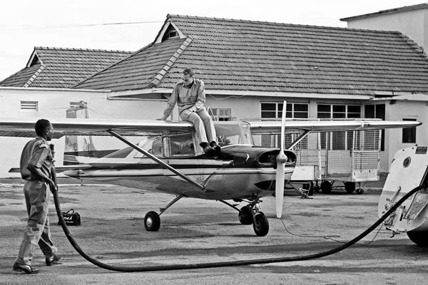
What routes would most effectively cover this diverse area? The base for flights in Uganda was Entebbe airport in southern Mengo which housed Caspair the aircraft service company from which aircraft and pilot were rented for all flights in Uganda. Flights across Buganda were usually combined with flights to photograph other outlying areas of the country. Flights started and ended at Entebbe.
For Buganda there were three main routes; one from north to south through the settled farming area to the west of Kampala on to Entebbe, Another went from Entebbe west through farming country to the earthworks at Bigo then north west through the dry land herding areas of Mubende on to Lake Albert. Another crossed the northern Sese Islands and later passed over the farmed areas on the mainland south of Port Bell.
© 2010 Uganda1963.org