| |
ALUR.. .
. . . . .. . . .. . . . . . . . . . . . . . . . . . . .
. . . . . . .. . . . . . . . . . . . . . . . . . . . . . . . .
.. . . . . . . . For Alur and all of West Nile we have two sources of information. The area was traveled by car and settlements in most districts were visited/ walked through in May of 1963. The flight took place in June of that year. The flight route entered Alur near Nebbi in the southeast went to the Paidha area then west to the Lendu area, turned north past Zeu and Omyo then turned eastward toward Moyo in Madi contnry. . . . . . . . . . . . . . . . . . . . . . . . . . . . . . . . . . . . . . . . . . . . .
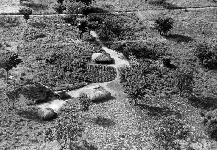
Farming in the western highlands of Alur was diverse and
complex. Coffee plantings were observed. Here
south east of Nebbi is a small farm.
|
|
|
63 16 #33
11 June 1963
Lat 2º 18' N
Long 31º 5' E
. . .. 1
|