| |
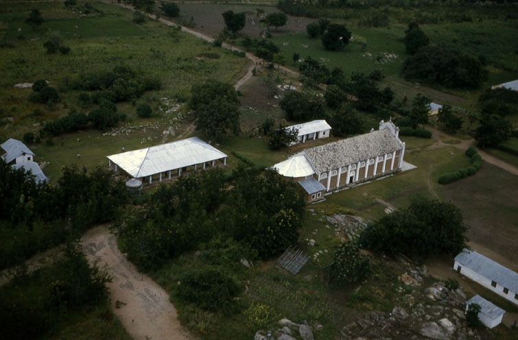
ACHOLI. . . . . . . . . . . . . .. .. . . . . . . . . . . . . . . . . .. . . . . . . . . . . . . . . . . . . . . . . . . . . . . ............ The photo coverage here is limited largely to the far western part of Acholi. The flight track goes from Atiak in the north then south passing to the west of Gulu the main town and provincial capital and on to Karuma falls on the Nile at the border with Bunyoro. For eastern Acholi there are only a few images of the area around and south of Patanga. This is not a comprehensive coverage for Acholi. Agriculture and settlements for those areas traversed are shown. . . . . . . . . . . . . . . . . . . . . . . . ... . .. . . . . .. . . . . . . . . . . . . . . . . . . . . . . . . . . . . . . .. . . . . . . . . . . .. . . . . .. . . . . . . .. . . . . . . . . . . . . . . . . . . . . . . . . . . . . . . .. . . . . . .. . . .A catholic mission church and school in the Atiak area. This was the largest structure encountered..
|
|
|
63c 29#13......... . . 11 June 1963 .. . . Lat . . . . . ........... Long . . . . . . . . . . . . 1
|