| |
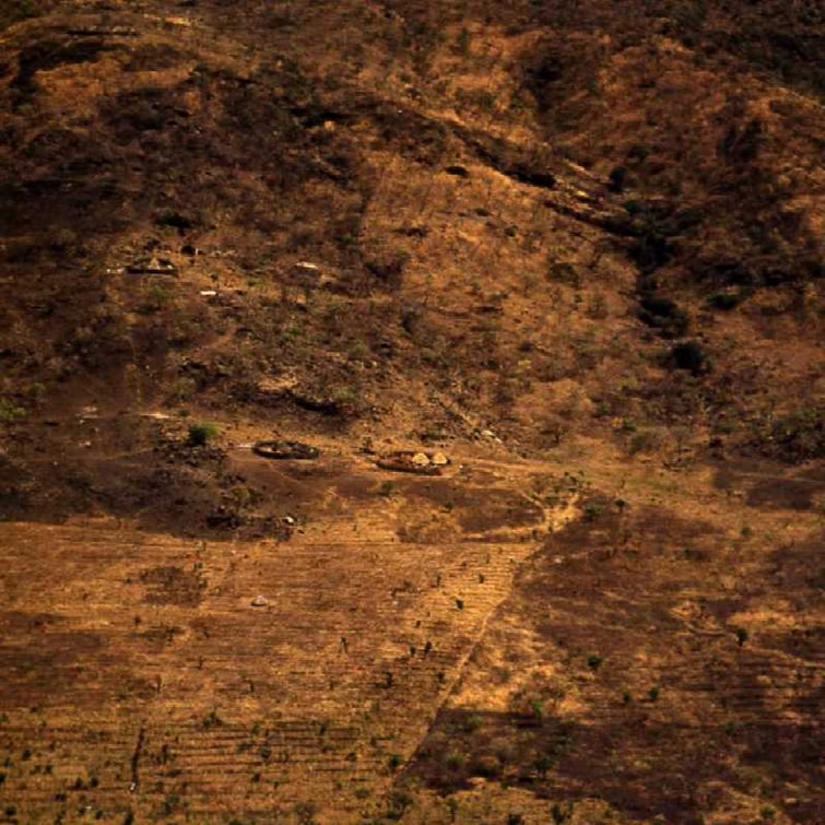
NAPORE . . . . . . . . . . . . . .. . . . . . . . . . . . . . . . . .. . . . . . . . . . . . . . . . . . . . . . . . . . . . . . . . . . . East front of the Nyangeya mountains a few miles south of the Sudan border. A closer view of the type of settlement location shown in the high altitude view. Cultivated areas are ridged along the contour to retain moisture and reduce erosion. Recent grass burn on the right.
|
|
|
K53 Y36 9 0. . . . . 20 Feb 54. . . . . . 3
|


